They Have the An(t)swers on Snow Depth
- BAMS
- By AMS Staff
- Oct 17, 2022
PROBLEM: Lidar measures snow depth by projecting photons from a satellite or airplane into the snow and measuring the time it takes them to return to space. While lidar provides high-resolution measurements, the photons can take a random route through the snow, which hampers the accuracy of measurements. “Most of them go inches in the snow and come back,” explains Yongxiang Hu of NASA’s Langley Research Center. “But then there are a lot of them that go very deep, very long distances trapped inside the snow—bouncing back and forth, back and forth.”
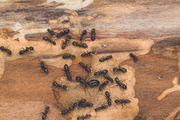
SOLUTION: Inspired by the movement of ants within a colony, Hu took a novel approach to the limitations of using lidar for measuring snow depth. Through experiments and modeling, biologists have figured out the specific amount of time an ant walks around inside a colony before leaving (it’s related to the volume and surface area of the colony). Hu discovered that light randomly bounced among cloud properties in a similar manner to the movement of ants. “So, I thought that the ants theory might apply to snow, too, since snow comes from clouds,” he explains. Hu and colleagues used a model simulation to verify an equation nearly identical to the one for ants moving around a colony and discovered this provided a measurement of the average distance a photon traveled in the snow. “The model suggests that the photon is traveling inside the snow almost exactly the way the ant travels inside its colony,” Hu says. From this the researchers were able to determine that snow depth equaled approximately half the average distance the photon traveled, and lidar data taken by the ICESat-2 satellite compared “very well” to radar data from airplanes, according to Hu. Along with improving accuracy, the technique also provides global coverage and is less expensive than airplane measurements. He notes the research team is working on the design of the next generation of satellites specifically for measuring snow depth. “I am confident this technique will revolutionize how we forecast snow evolution in the future and model sea ice changes,” he says. The study was published in Frontiers in Remote Sensing. [Sources: Frontiers Communications, NASA, Wired]
Photo Credit: iStock.com/DianaLynne