Keeping Watch on Pollution
- By AMS Staff
- Aug 28, 2023
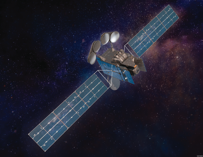
CAPTION: Artist rendering of the TEMPO satellite.
[Image Credit: Maxar Technologies]
“TEMPO will be revolutionary.”
— Aaron Naeger of the University of Alabama in Huntsville, on the Tropospheric Emissions: Monitoring of Pollution instrument, which was launched onboard a satellite in early April. TEMPO’s ultraviolet and visible light spectrometer will monitor North America every hour from sunrise to sundown and measure levels of ozone, aerosols, and other pollutants. "It will be the first satellite to provide [such] early-morning to early-evening observations of the atmosphere," says Naeger, who is deputy program applications lead for TEMPO. "It will measure the entire air column, from the satellite to the ground, so it will monitor air quality in this layer of air where people live and breathe." A joint project between NASA and the Smithsonian Astrophysical Observatory, TEMPO will provide spatial resolution on a neighborhood scale (2.1 by 4.5 kilometers), with an altitudinal resolution of 200–500 meters, providing a much more comprehensive view of atmospheric pollution than previous satellites, which scan “curtains” of the atmosphere only once per day and thus generate measurements that are coarse both spatially and temporally. "From only a few curtains, you don’t know much about everything in between," notes TEMPO scientist Jun Wang of the University of Iowa. Along with enhancing air quality forecasts, TEMPO also has the ability to focus on special events such as wildfires, volcanic eruptions, and dust storms and provide observations of such events every 10 minutes. It is scheduled to collect data for at least two years, a time frame that should lead to valuable insight into the movement of pollutants throughout North America. “There are no boundaries in the atmosphere,” Wang says. "The air goes around, the air comes around…We want to understand that long-range transport." [Source: Eos]
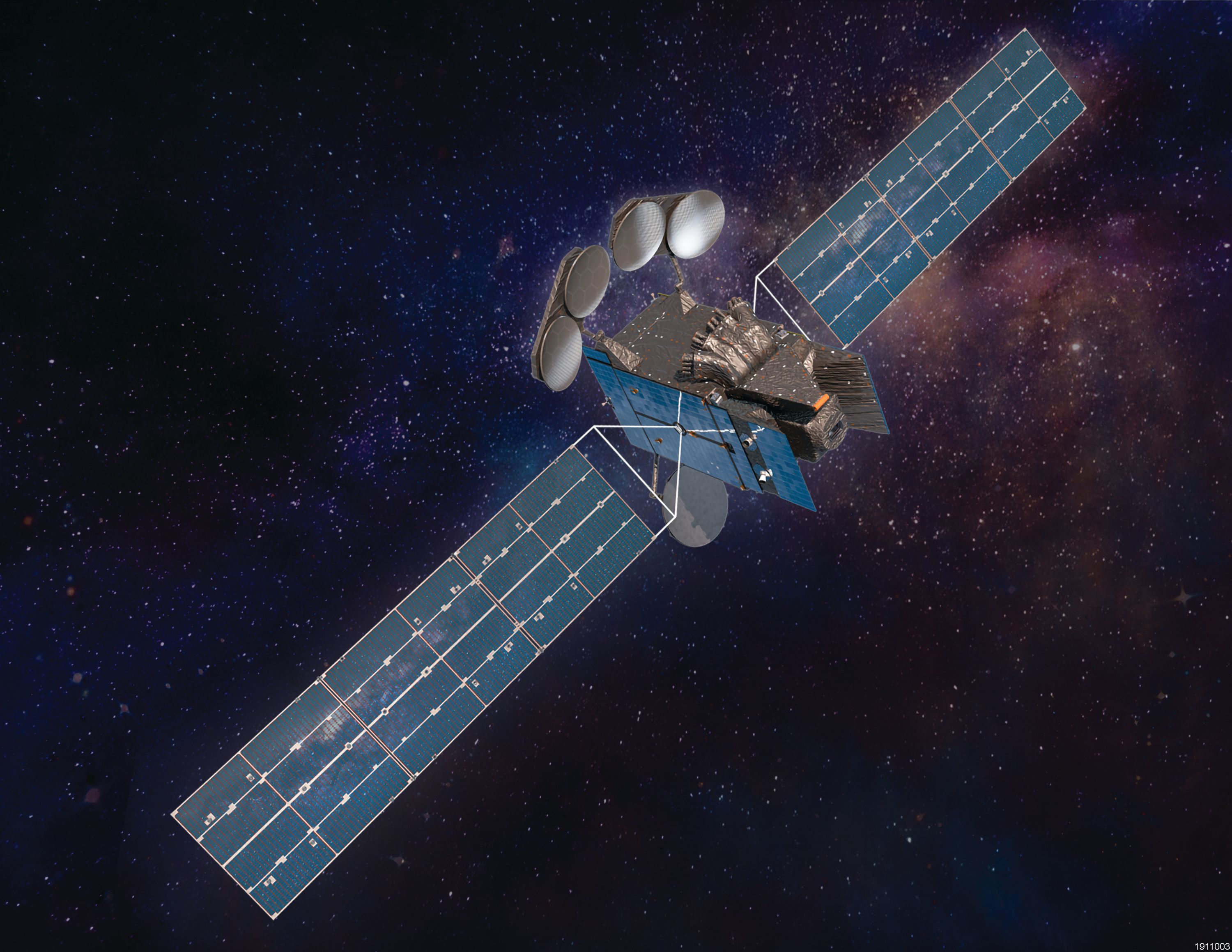
CAPTION: Artist rendering of the TEMPO satellite.
[Image Credit: Maxar Technologies]