Swarm Satellites and Glacier Mapping: The Latest Headlines
- By AMS Staff
- Jul 31, 2023
Here are a few of the news stories from the weather and atmospheric sciences and space that we've been following the last two weeks. Do you have a story we missed? Share it in the community!
Higher waves in the Arctic create ice-containing clouds
A team of scientists led by Dr. Jun Inoue of the National Institute of Polar Research, Japan, sought to answer a peculiar question: can higher waves in the Arctic Sea promote the development of ice-containing clouds? This question may seem strange at first, because most people would not have fathomed that a link could exist between those two natural phenomena. But the findings of this study indicate that there most likely is a connection.
How many satellites are in orbit and what are their collective impacts?
With the huge growth in satellites, fears of a crowded sky are starting to come true. A day after SpaceX launched its first 60 Starlink satellites, astronomers began to see them blocking out the stars. While the impact on visible astronomy is easy to understand, radio astronomers fear they may lose 70% sensitivity in certain frequencies due to interference from satellite megaconstellations like Starlink. Read more on how 2021 alone has already seen the launch of 1,400 satellites and what that means.
Hurricane Larry brings rare post-tropical storm to Greenland
Larry reached Greenland on September 12 as a post-tropical storm, delivering high winds and copious snowfall to the island’s southeast and interior. Kulusuk and Tasiilaq saw winds gusts topping 90 miles (145 kilometers) per hour and blizzard conditions were reported at Summit Station.
“Such storms are quite rare,” said Lauren Andrews, a glaciologist with NASA’s Global Modeling and Assimilation Office. “They generally dissipate well before reaching as far north as Greenland. Though there have been similar storms, including Noel in 2007 and Igor in 2010.”
Satellite swarms could revolutionize observations using a hive mind
If scientists are successful in teaching swarms of small satellites to communicate with each other, the machines could work together to collect data on weather patterns at different times of the day or year, and from multiple angles. These swarms, using machine learning algorithms, could revolutionize scientists’ understanding of weather and climate changes.
Europe moves towards launch of third generation weather satellites
Set to launch in autumn of 2022, the new generation of weather satellites will offer significant upgrades to the current capabilities of the Meteosat Second Generation. These enhancements include real-time lightning imaging and an all-new infrared sounding capability for early detection of severe storms.
Wildfire burn scars can intensify and cause thunderstorm formation
Wildfire burn scars are often left with little vegetation and with a darker soil surface that tends to repel rather than absorb water. These changes in vegetation and soil properties leave the land more susceptible to flooding and erosion, and can also initiate or invigorate thunderstorms, raising the risk both of flooding and of lightning that could spark more fires in surrounding areas. Read more on how these scars change the weather around them.
Melting glaciers present new data on flow history and structure
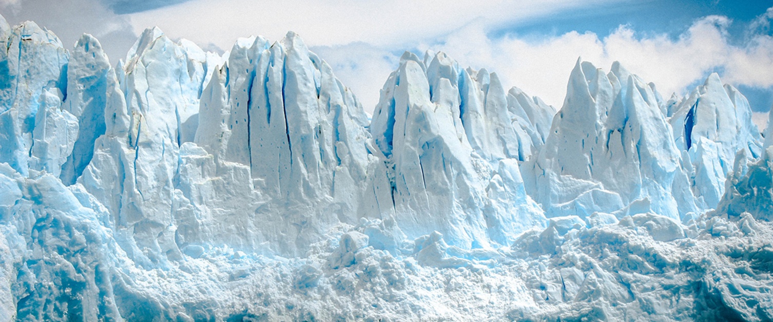
One consequence of the climate emergency is that glaciers around the world are melting. And this ice loss is revealing their internal structures in remarkable detail. We can now see that ice structures record an intricate record of present and past glacier dynamics, a record that commonly cannot be discovered by other means. By combining studies of the glacier’s structure with satellite remote sensing, the flow characteristics of large and remote ice masses, both globally and extra-terrestrially, are now being revealed. Read more from AGU's Eos.
